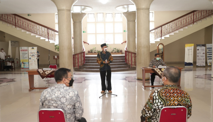
The Geospatial Information Agency (BIG) paid a visit to Universitas Gadjah Mada led by the Head of BIG, Prof. Muh Aris Marfai, and welcomed by the Rector of UGM, Prof. Panut Mulyono them at the UGM Hall, Friday (26/2).
During this visit, BIG conducted audiences related to the development of the Center for Spatial Data Infrastructure Development (PPIDS UGM) and Parangtritis Geomaritime Science Park (PGSP). BIG proposed that PPIDS UGM is appointed to the university level to have greater escalation and authority.
“This is because the challenges in managing geospatial information are not limited in technology, but there are several other elements, such as human resources, institutional elements, and policy. Strong multidisciplinary is necessary. We have also seen that PPIDS UGM gain resources from various fields despite being under the Faculty of Engineering,” said Muh Aris Marfai.
He conveyed that BIG to date has established extraordinary good cooperation with 24 universities. A total of 24 collaborations with these universities are in the form of PPIDS or the Spatial Data Infrastructure Development Center.
Muh Aris admitted that this collaboration with universities has different qualities, uniformities, standards, and types of activities. One of the most prominent is PPIDS at UGM.
“We need to report to the Chancellor that PPIDS activities at UGM are extraordinary. They have helped the National Geospatial Information Network (JIGN) that is connected to district/city and provincial governments. PPIDS at UGM has established communication and also fostered JIGN around it or districts/cities both in and outside DIY,” he said.
Therefore, he hopes to discuss the possibilities to make PPIDS at UGM stronger in the team visit together. Seeing the success story at UGM, there is a possibility that if PPIDS reaches the university level, it will be used as a prototype sample for the other 24.
According to him, for now, most of the PPIDS outside UGM are institutionally under the rector. Data showed more than ten are under the rectorate, eight under the LPPM, and the rest under the faculty.
“After this, we will tell several other universities to be the driving force for others in ITB, East Java, in Padang, and others so that they will move synergistically. Why is this important? Because this is about pursuing targets concerning large-scale mapping, facilitating large-scale mapping, and broader geospatial literacy to every remote area and also for monitoring assistance, assistance related to geospatial information, “he explained.
UGM Chancellor, Prof. Panut Mulyono welcomed the audience with BIG. He hopes that BIG will be able to take advantage of the existing potential at UGM related to this spatial data to contribute more to the country.
“In principle, UGM supports the programs and plans made by Prof. Muh Aris Marfai as the head of BIG. Thus, BIG can also improve its performance and benefits for the development of Indonesia. Of course, we must accelerate development plans, so that progress can be achieved more quickly,” he said.
Deputy of Geospatial Information Infrastructure BIG, Dr. Adi Rusmanto, Head of the Center for Standardization and Institutionalization of Geospatial Information BIG (PSKIG), Dr. Sumaryono, Head of BIG’s Geospatial Information Management and Dissemination Center (PPPIG), Rahman Rifai and Head of BIG’s Parangtritis Geomaritime Science Park (PGSP), Putri Maesaroh attended this audience. Meanwhile, from UGM, Dean of the Faculty of Geography, Dr. Andri Kurniawan, Dean of the Faculty of Engineering, Dr. Muhammad Waziz Wildan, and Director of Partnerships, Alumni & International Affairs, Dr. Danang Sri Hadmoko also came to this event.
Source: https://ugm.ac.id/id/berita/20816-big-harapkan-ppids-ugm-di-level-universitas