Dumai City consists of lowlands and highlands and has a beach that is directly related to Rupat Beach and has flat topography. Every year, the city of Dumai changes some climate changes that are very important by the marine climate with an average rainfall of 200-300 mm/month and has two seasons namely the dry/dry season from March to August, and the rainy season from September to February. with an average daily temperature of 24-33 ˚C. The city of Dumai releases another area on the island of Sumatra each year that must be affected by the forest and land fire disaster (Karhutla). This thick smoke from the forest and land fire are very detrimental to the government and the community because it will affect the economic aspects, social health and also the loss of burning land.
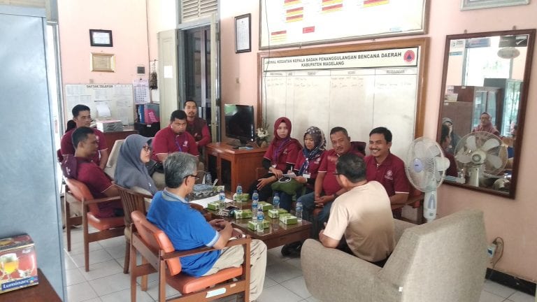
The Dumai City Government, in this case through the Regional Disaster Management Agency (BPBD) of Dumai City, took a strategic step in the effort to overcome these disasters with the UGM Center for Disaster Studies (PSBA) holding a Disaster Risk Study Preparation Training.
The purpose of this training is to improve the ability of Badan Penanggulangan Bencana Daerah Dumai City to be able to conduct a true and effective analysis of all potential threats to disasters and their problems so that disaster prevention can be done quickly. The training was held for 2 days of theory and 1 day of practice in the field, so it was hoped that participants could practice theory and knowledge well at the UGM Center for Disaster Studies. Field trips and Comparative Study at the Gunung Merbabu National Park Office.
![]()
![]()

